Zlaté Hory in Jeseníky, Jeseník dist., Olomouc Region
Medieval castle Edelštejn
(13th–15th cent.)

Overall view of the lower ward and upper ward (in the background) from the north.
Photo H. Dehnerová.
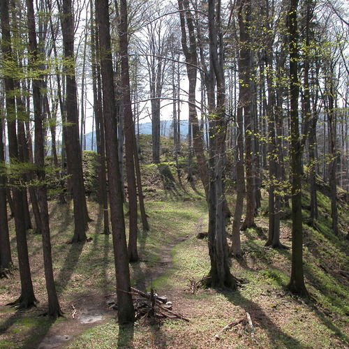
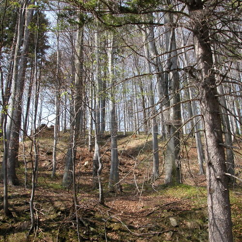
The ruins of the medieval castle of Edelštejn count among the largest in Czech Silesia. The castle was one of the most advanced fortifications in Silesia encircled by bastions for long guns and artillery. It is part of an important framework along the trade route from Olomouc to Wroclaw, a border fortress, and at the same time the administrative centre of a gold mining district protecting the gold mines. The castle seems to have been founded in the last third of the 13th century; after an expensive reconstruction in the mid-15th century, it turned into one of the most modern fortresses of the area, but was seized in the 2nd half of the 15th century and destroyed. The area of the castle has never been studied systematically; only one rescue excavation was undertaken at the beginning of the 21st century in the course of the construction of a skiing area. We have found the remains of hollow ways and evidence of prospection and gold washing. The ruins with fragments of the upper ward divided from the lower ward by a ditch are visible in the physical relief. The lower ward was entered from the west by a gateway, the remains of which can also be detected with the bare eye.
References: Gardavský 1960; Kouřil – Plaček 1988; Kouřil – Wihoda 1998; Kouřil – Prix – Wihoda 2000.
Navigation point: N 50°14‘07.59“, E 17°22‘51.79“ (access from the west).
Map notes: A – upper ward; B – lower ward; C – ditch; D – reamins of buildings in the castle corner; E – bergfried; F – zwinger wall; G – corner bastions; H – fragments of a corner tower; I – remains of a gateway; J – zwinger; K – ditch; L – earthwork; M – neck ditch. Map symbols are available in the Downloads section.
Selected fulltext articles and reports for further reading. Complete bibliographical records are available in the Downloads section as the List of publications.
Sto zajímavých archeologických lokalit Moravy a Slezska – Zlaté Hory v Jeseníkách


