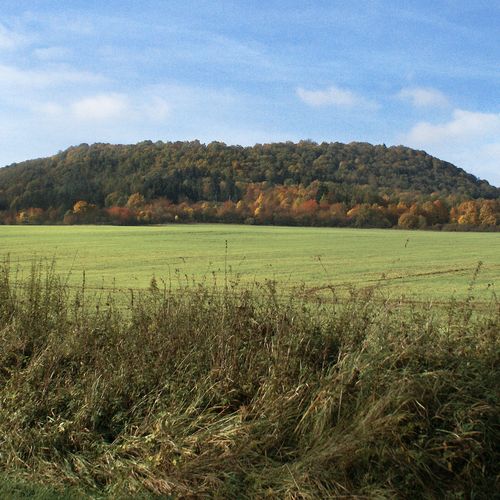
Záhořice, Karlovy Vary dist., Karlovy Vary Region
Prehistoric hillfort ‘Vladař’
(from 500 BC to 0)
The ‘Vladař’ hillfort on a monumental plateau mountain was one of the most important centres at the end of the Hallstatt and the beginning of the La Tène Periods. The hillfort with an area of 115 ha was divided into an acropolis and four annexes (baileys) and was fortified by massive ramparts with several ditches. Remarkable results came in particular from the excavation of two waterlogged areas – a cistern in the acropolis and a watering place in one of the annexes. Hussite forces defended themselves on the mountain against the army of the ‘Pilsen Landfriede’ in 1421.
References: Chytráček a kol. 2010, 2012.
Navigation points: N 50°04'28.42", E 13°12'28.15" (south); N 50°04'51.23", E 13°13'05.09" (east); N 50°04'53.41", E 13°11'54.40" (west).
Map notes: A–B – ‘pincer’ gates to the acropolis; C, F, G – gates between annexes; D – archaeological trench through the bank; E – ‘pincer‘ gate and a concentration of hollow ways; H – peat pond, originally a cistern; J – watering place; K – ‘pincer’ gate to the acropolis; I–IV – annexes (baileys). Map symbols are available in the Downloads section.
Selected fulltext articles and reports for further reading. Complete bibliographical records are available in the Downloads section as the List of publications.
Archeologický atlas Čech – ZáhořiceChytráček, M. a kol. 2010: Komplexní výzkum pravěkého hradiště na stolové hoře Vladař, Živá archeologie: rekonstrukce a experiment v archeologii 11, 45–50.Chytráček, M. a kol. 2012: Vzestupy a pády regionálního mocenského centra. Přehled současného stavu poznání pravěkého opevněného areálu na Vladaři v západních Čechách, Památky archeologické 103, 273–338.


