Kouřim, Kolín dist., Central Bohemian Region
Early Medieval settlement agglomeration and Medieval town
(9th–15th cent.)

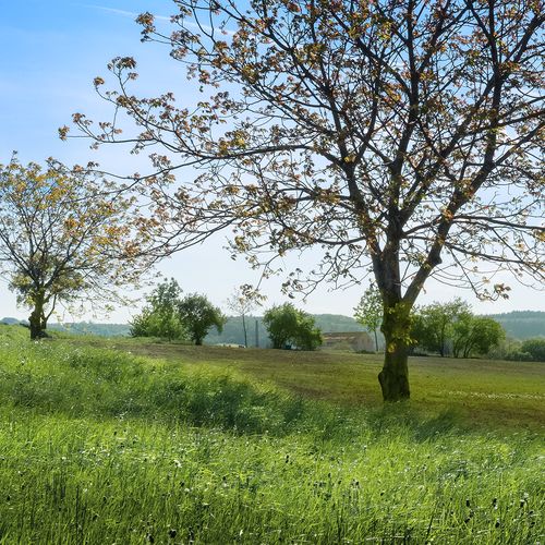
The so-called Lech's Stone; St. Stephen Basilica in the background (right).
Photo Z. Kačerová, 2013.
The second largest medieval settlement agglomeration in Bohemia and a site that long served as a political centre, which is also reflected in historical documents and mythology. The largest Early Medieval hillfort in Bohemia stood at ‘Stará Kouřim’ from the end of the 8th century to the beginning of the 10th century; the site also included an elite cemetery around ‘Libuše Pond‘ with finds of luxurious jewellery and weapons. In the mid 10th century, the Přemyslids moved the hillfort to the neighbouring St George’s promontory and to a smaller area of St Adalbert’s next to it. At the end of the 13th century, the settlement moved to the new town of Kouřim, which is dominated to this day by the Gothic Basilica of St Stephen the Protomartyr.
References: Šolle 1981; Lutovský 2001; Rišlink 2011.
Navigation points: N 50°00'08.07, E 14°59'10.47" (‘Lech’s Rock’); N 49°59'55.70", E 14°58'52.44" (at St George’s); N 49°59'45.83", E 14°59'14.09" (at St Adalbert’s); N 50°00'09.29", E 14°58'38.12".
Map notes: A – ‘Lech’s Rock’ (a boulder named after a Czech mythical hero); B – ‘Stará Kouřim’ (’Old Kouřim’) hillfort; C – ‘pincer’ type gate; D – ‘Libuše Pond’; E – hillfort at St George’s; F – hillfort at St Adalbert’s; G – town of Kouřim; 1 – outer bank; 2 – inner fortification; 3 – relief step, remains of original fortification across St George promontory; 4 – place of the former Church of St George; 5 – former Church of St Clement; 6 – former Church of St Adalbert; 7 – ‘Prague Gate’ in the town ramparts; 8 – ‘Muzejní bašta’ (‘Museum Bastion’); 9 – Gothic Basilica of St Stephen the Protomartyr. Map symbols are available in the Downloads section.
Selected fulltext articles and reports for further reading. Complete bibliographical records are available in the Downloads section as the List of publications.
Archeologický atlas Čech – Kouřim


