Javorník-město, Jeseník distr., Olomouc Region
Medieval castle Rychleby
(14th cent.)
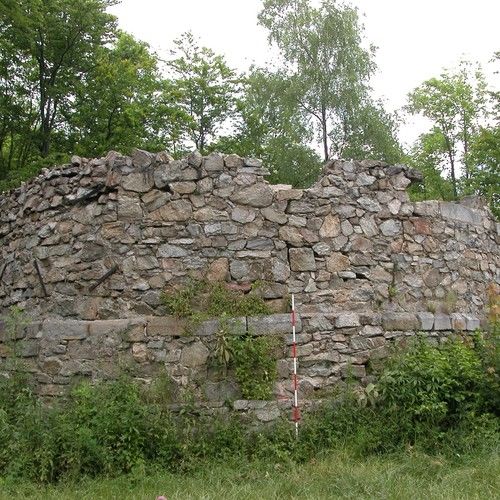
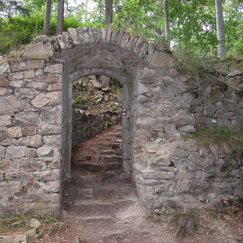
The ruins of the medieval castle of Rychleby are part of a system of fortifications in the land of Javorník. Together with Pustý zámek on the opposite side of the valley, the castle was established around 1300 to protect a trade route. Among the remains, uncovered at the beginning of the 20th century, are an upper ward, containing a single-winged building with residential apartments, a zwinger and an outer earthwork, which broadened into a surface with drawbridge and nearby gatehouse. Later, the castle area was extended by two buildings on the outside of the defence wall. Today, fragments of the buildings and fortification walls can be seen; recently, a lookout tower with circular ground plan and spiral staircase was erected.
References: Stumpf 1915; Goš 1976; Kouřil – Prix – Wihoda 2000.
Navigation point: N 50°21‘51.80“, E 16°58‘57.04“ (entrance).
Map notes: A – bergfried; B – outer earthwork; C – tower house; D – modern lookout; E – one-room residential building; F – rectangular building by the defence wall; G – zwinger wall; H – quadratic building; I – tower-like building; J – lower ward; K – ditch; L – enclosing wall. Map symbols are available in the Downloads section.
Selected fulltext articles and reports for further reading. Complete bibliographical records are available in the Downloads section as the List of publications.
Sto zajímavých archeologických lokalit Moravy a Slezska – Javorník-městoStumpf, G. 1915: Ruine Reichenstein bei Jauernig, Zeitschrift für Geschichte und Kulturgeschichte Österreichisch-Schlesiens X, 73–78.pdf


